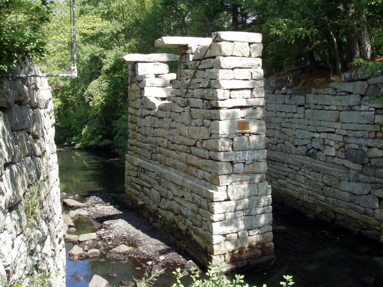
Dog Park and Middlesex Canal
Wilmington’s Dog Park connects to a trail along the historic Middlesex Canal, a remarkable piece of history. The Dog Park
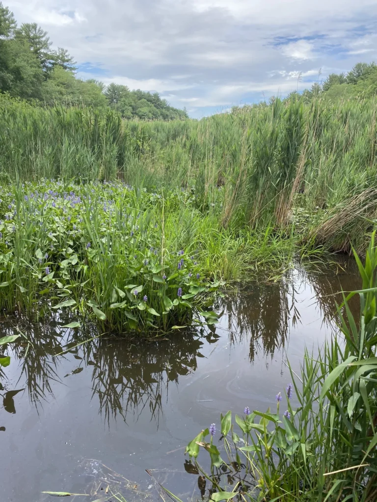
Lubber’s Brook
Wilmington’s Lubbers Brook is a smallish but pleasant spot with lovely views of wetlands. Like everywhere these days it is
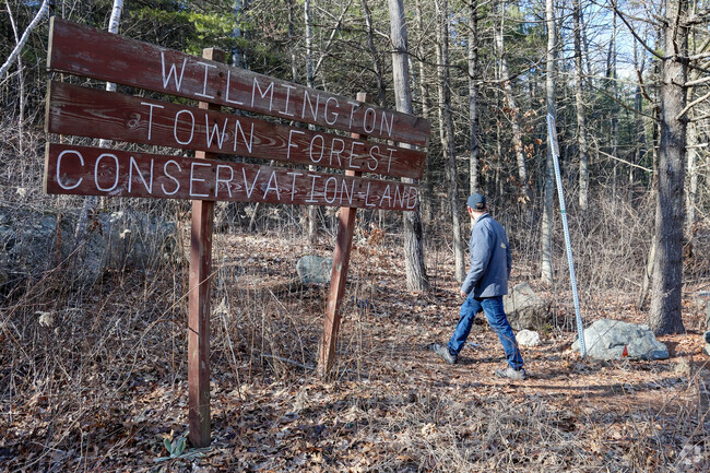
Wilmington Town Forest
A large sign welcomes you to the woods.A boardwalk takes you over a wet area – when needed.Large boulders called

Town Trail Maps
All town trails on a GIS map.
Town Forest
PDF map of Wilmington Town Forest

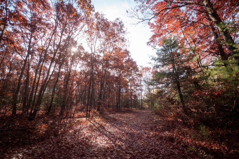
Wilmington Town Forest Bike Trail
This is a nice, relatively easy ride - great for beginners or just a quick run during your lunch break if you work in the area.