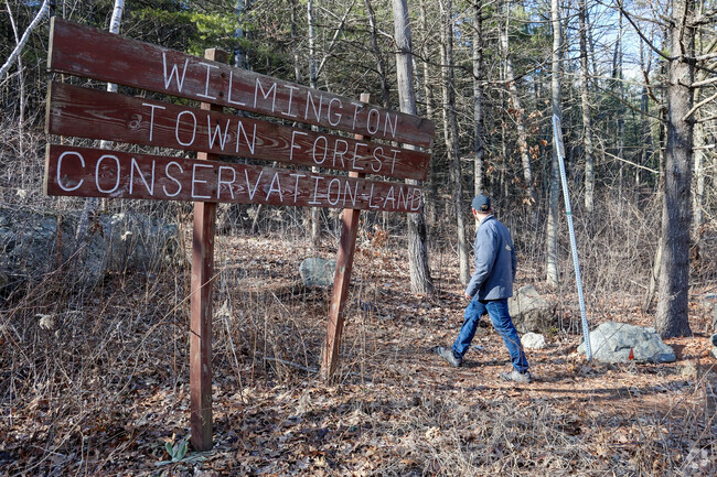
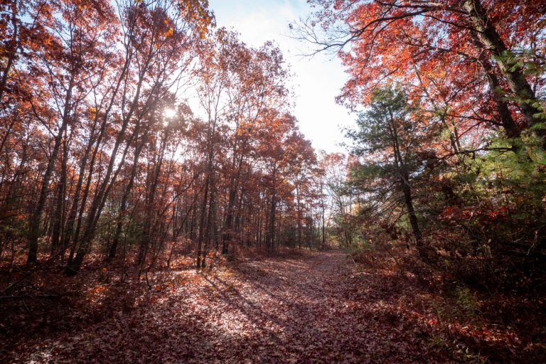
Wilmington Town Forest
Wilmington’s Town Forest is a nice quiet place for a walk in the woods. Look for the sizable boulders left by the glacier. The forest borders on Andover and you can easily walk into Andover forest land from here. There is a water town high up from which there are views outward.
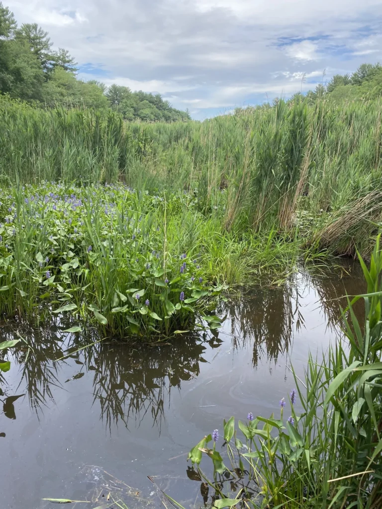
Lubber’s Brook
Wilmington’s Lubbers Brook is a smallish but pleasant spot with lovely views of wetlands. Like everywhere these days it is dog-friendly but only on leash.
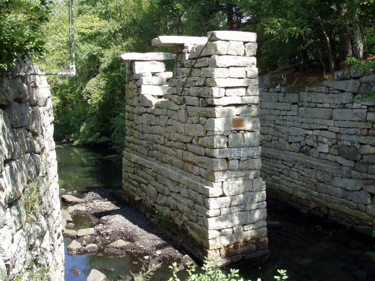
Dog Park and Middlesex Canal
Wilmington’s Dog Park connects to a trail along the historic Middlesex Canal, a remarkable piece of history. The Dog Park is also known as Town Park. You can park right off route 38, also known as Main Street, to explore both walks.

Town Trail Maps
All town trails on a GIS map.
Town Forest
PDF map of Wilmington Town Forest

Wilmington Town Forest Bike Trail
This is a nice, relatively easy ride - great for beginners or just a quick run during your lunch break if you work in the area.