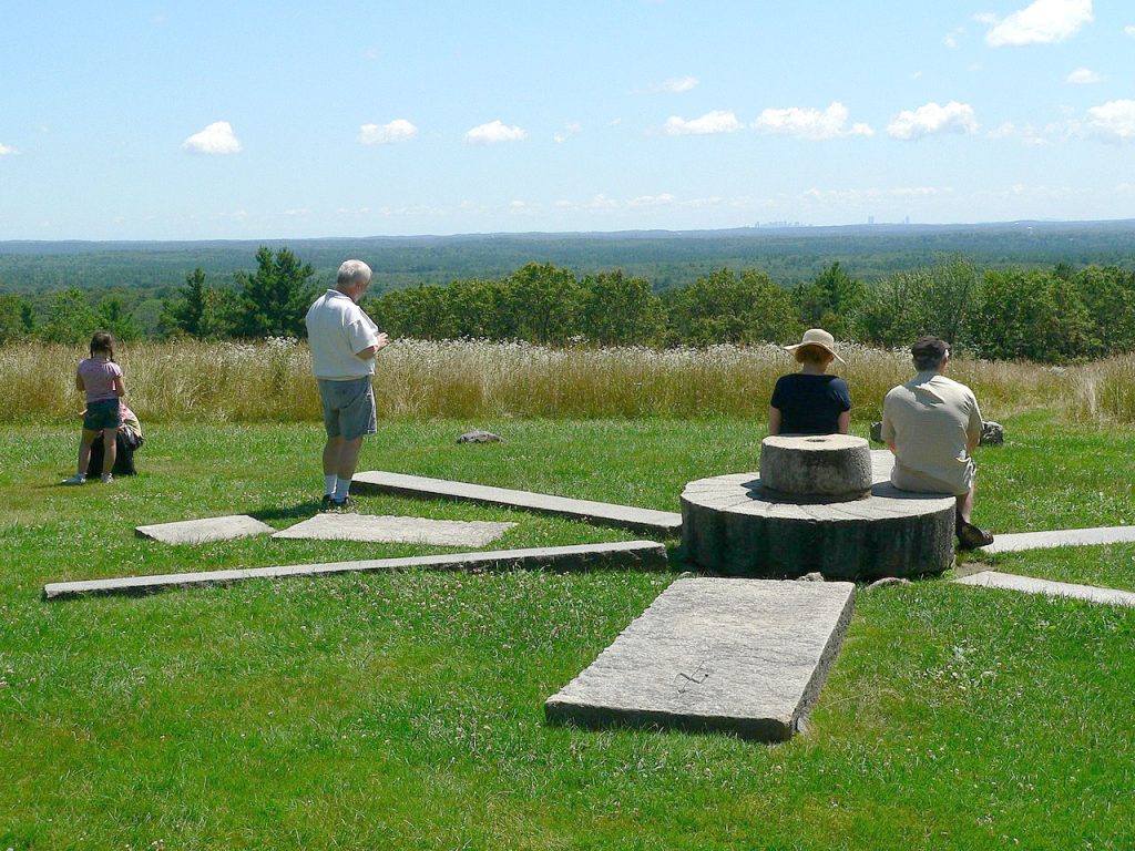
Ward Reservation
The Charles W. Ward reservation in Andover and North Andover is the northern end of the Mystic Link Trail. It is a large reservation run by The Trustees, with a wide variety of landscapes. There are wetlands, open fields, forests, and views to distant places.
Retelle Reservation
This reservation runs along the Merrimack River so along with woods you can get great river views along with woods and wetlands. It was named after Al Retelle, who convinced Andover to create a Conservation Commission.
Pomps Pond
“The current name of Pomp’s Pond refers to Pompey Lovejoy, a freed slave who built a cabin near the pond on Abbot Road, fished, and farmed nearby land.”
Indian Ridge, Baker’s Meadow, Doyle Link
These are also three separate areas, but connected by trails so we are showing all three as one “place” in the town of Andover.
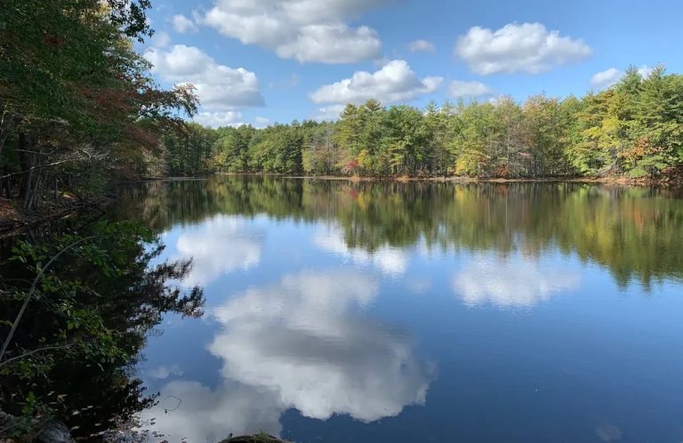
Harold Parker State Forest
Harold Parker State has 35 miles of trails, many lakes and ponds, and even has campsites. There are so many trails that you have to pay attention to keep from getting lost!
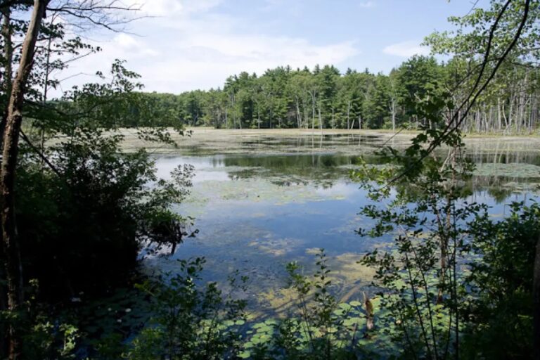
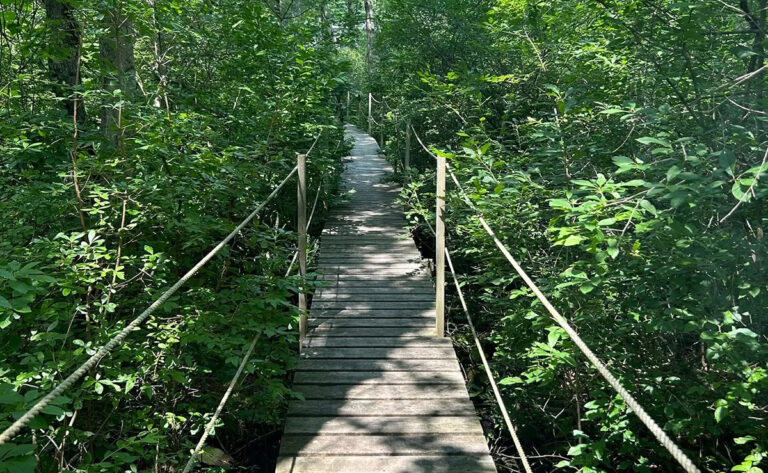
Goldsmith Woodlands, Foster’s Pond, Wilkinson Reservation
There is a lot to see in this rich environment of forest, wetland, and open water, with many boardwalks.
Fish Brook, Virginia Hammond, Bald Hill-Wood Hill
These are three separate Andover areas, but connected by trails so we are showing all three as one “place”.

Andover Trails
Extensive website with many maps and more resources.
Andover Conservation Commission
"As of 2021, there are over 2,200 acres of protected land that are held in the care and custody of the Andover Conservation Commission."

AVIS - The Andover Village Improvement Society
"AVIS manages more than 30 reservations comprising more than 1,200 acres in the Town of Andover."
Trail Link - Andover
This is the Andover page of the national Rails to Trails Conservancy
8 Great Trails
Here is an interesting set of 8 trails that "make Andover such a nature destination."