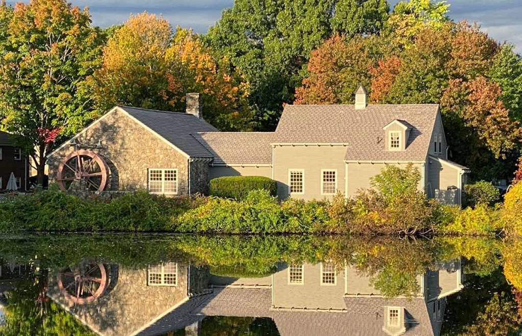
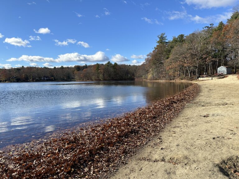
A vibrant network of connected open spaces between the Merrimack Valley and Mystic River watershed into Boston.

FOLLOW US:

wright-locke-farm
/* NORTH ANDOVER */ NORTHANDOVER /* ANDOVER */ ANDOVER /* TEWKSBURY */ TEWKSBURY /* WILMINGTON */ WILMINGTON /* NORTH READING */ NORTH READING /* READING */ READING /* BURLILNGTON */ BURLINGTON /* WAKEFIELD */ WAKEFIELD /* WOBURN */ WOBURN /* STONEHAM */ STONEHAM /* WINCHESTER */ WINCHESTER /* ARLINGTON */ ARLINGTON /* MEDFORD */ MEDFORD /* SOMERVILLE */ SOMERVILLE /* RIVERS */ MERRIMACK RIVER MYSTIC RIVER /* DOTTED LINES */ /* BOXFORD */ BOXFORD FORESTWINDRUSH FARM /* HORN POND */ HORNPOND /* MILL POND */ MILLPOND /* FELLS */ MIDDLESEXFELLSWEST & EAST /* SWAN POND */ SWANPOND /* QUANNAPOWITT */ LAKE QUANNAPOWITT /* MARY CUMMINGS */ MARY CUMMINGSPARK & WHISPERINGHILL WOODS /* LANDLOCKED */ LANDLOCKEDFOREST /* SAWMILL */ SAWMILL BROOK /* BARE MEADOW */ BAREMEADOW /* MAILLET */ MAILLETTHELIN /* READING FOREST */ READINGTOWN FOREST /* CHANDLER */ CHANDLERWELL FIELDS /* ROGERS */ ROGERSPARK /* TEWKSBURY */ TEWKSBURYSTATEHOSPITALPARKS /* WILM FOREST */ WILMINGTON TOWNFOREST /* GOLDSMITH */ GOLDSMITHFOSTER’SWILKINSON /* HAROLD P */ HAROLD PARKERSTATEFOREST /* WARD HILL */ WARDHILL /* POMPS */ POMPSPOND /* INDIAN BAKER */ INDIANBAKER’SDOYLE /* FISH HAMMOND*/ FISH BROOKHAMMONDBALD HILL /* RETELLE */ RETELLERESERVATION /* JAMES WOODCHUCK */ JAMES SWAMPWOODCHUCK HILL /* TOWN BRUIN */ TOWN FARMBRUIN HILLFARNSWORTHFOSTER FARM /* OSGOOD*/ OSGOODWEIR HILL /* CARTER MAZURENKO */ CARTER HILLMAZURENNKO FARM /* LUBBERS*/ LUBBERSBROOK /* CANAL*/ DOG PARK &MIDDLESEX CANAL /* MENOTOMY*/ MENOTOMYROCKS /* MYSTIC*/ MYSTICLAKES /* SOMERVILLE RAIL TRAIL*/ RAIL TRAIL /* IPSWICH RIVER PARK */ IPSWICHRIVER PARK /* LAKES */ /* DOTTED LINES */ /* LABELS */ NEARBY OPEN SPACES BAYCIRCUITTRAIL THE MYSTICLINK TRAIL

Winchester

The MLT runs through Winchester via the Tri-Community Greenway, along with a spur that connects to Horn Pond in Woburn. It is via the Tri-Community Greenway and its connection to the Mystic River Greenway that the MLT reaches Boston.

Winchester has direct access to the 2,575-acre Middlesex Fells Reservation. Another local hike is at the 120-acre Whipple Hill Conservation area which can be accessed from the historic Wright-Locke Farm.

Below is a Google map of Winchester that you can also explore.

Featured in Winchester

Resources in Winchester

Tri Community Greenway

Tri-Community Greenway

Friends of the Tri-Community Greenway - Stoneham, Woburn, Winchester

Winchester Walk and Bicycle

Winchester is a fairly compact community - about 4.5 miles at its widest point. Most destinations are within 2-3 miles of each other. The Town maintains approximately 90 miles of public ways, as shown in our map.

Winchester Conservation Commission

Winchester Conservation Commission

The commission has responsibility for the preservation of open space and implementation of the Massachusetts Wetlands Protection Act and the Winchester Wetlands Bylaw.