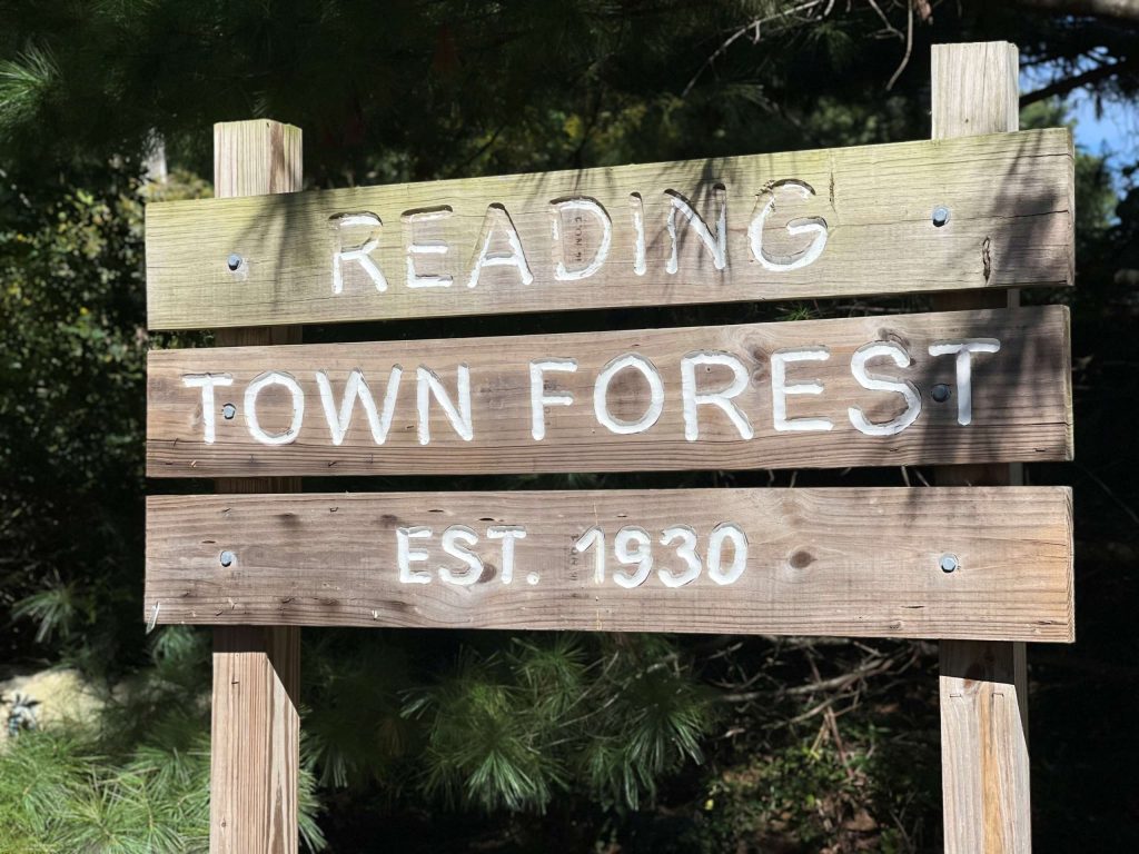
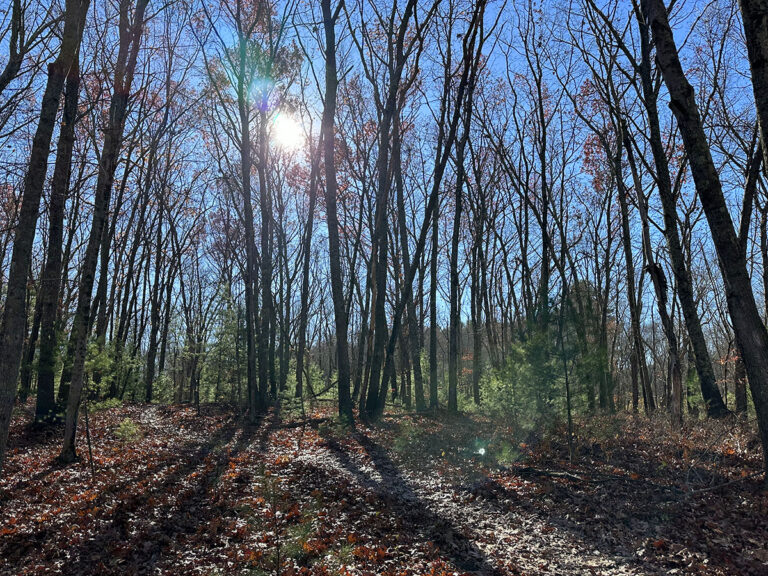
Reading Town Forest
Reading Town Forest is a large wooded area in the north of Reading. It skirts the Ipswich River, and depending on weather and recent rain you might get close enough to view the river.
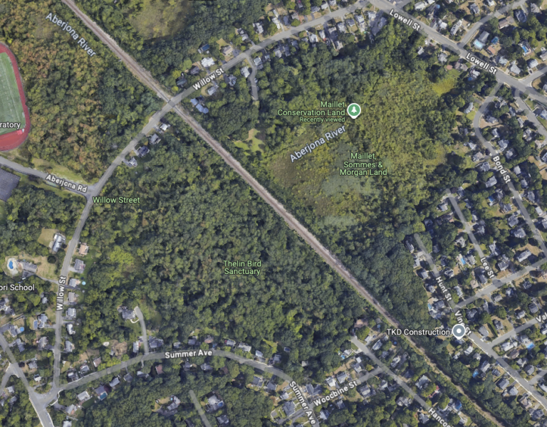
Maillet Conservation Land
The Maillet Conservation land is next to the Thelin Bird Sanctuary, and both can be visited, although Thelin is more bird friendly than people friendly. The Maillet project has been a major stormwater project along the Aberjona River.
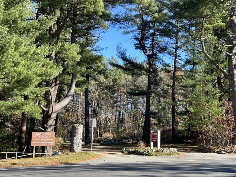
Bare Meadow and Mattera Cabin
Bare Meadow is right at the northern end of Reading and walking through it connects to the interesting Mattera Cabin at the other end, where there is lots of good parking. (The cabin is not currently open for use.)

Reading Trail Maps
The maps and apps shown were created by the Town of Reading GIS division.
Reading Conservation Department
The Conservation Commission protects and manages Reading’s wetlands and conservation lands. The commission issues permits for projects that follow state and local wetland regulations.
Reading Open Land Trust
The Reading Open Land Trust, Inc. (ROLT) was founded in 1979 by a group of private citizens motivated by the conviction that conservation of our natural resources must be a concern for all citizens and not solely dependent on government action and tax revenues.